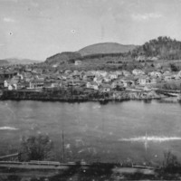
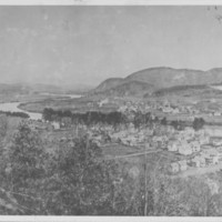
Series E4- Scene: Aerial
Dublin Core
Format
Photographs
Identifier
E4
Title
Series E4- Scene: Aerial
Contributor
Rockingham Free Public Library
Type
Cataloged Photograph Collection
Subject
Scene: Aerial
Rights
The Rockingham Free Public Library does not necessarily own the copyright to the images in the Cataloged Photograph Collection. The images are provided for educational use. Many of them did not include a formal copyright notice. The images may be protected by U.S. Copyright law (Title 17, United States Code), which governs reproduction, distribution, public display, and other uses of protected works. Uses may be allowed with permission from the copyright holder, if the copyright on the work has expired, or if the use is fair use or within another legal exemption. The user of this work is responsible for compliance with the law. The user agrees to hold the Library harmless.
Any display, publication or reproduction of the images must credit Rockingham Free Public Library’s Cataloged Photograph Collection as the holding repository.
Any display, publication or reproduction of the images must credit Rockingham Free Public Library’s Cataloged Photograph Collection as the holding repository.
Collection Items
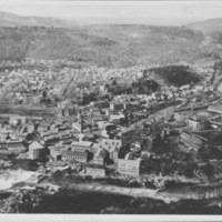
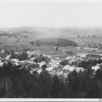
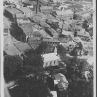
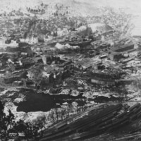
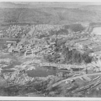
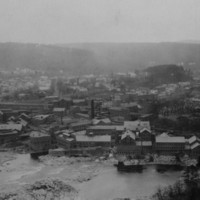
Bellows Falls, VT. From Mount Kilburn. 1926
Bellows Falls, VT. From Mount Kilburn. 1926. Probably last such photo before mills were torn down.
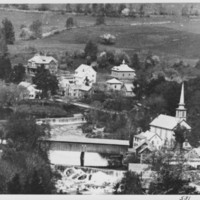
Saxtons River, VT. View from East Hill.
Saxtons River, VT. Vermont Academy buildings at center right.
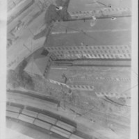
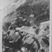
Bellows Falls, VT. Vermont Farm Machine Co. Buildings
Bellows Falls, VT. Aerial view of Vermont Farm Machine Co. Buildings. About 1926.
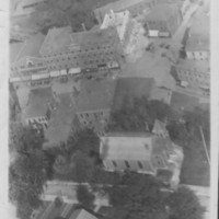
Bellows Falls, VT. Baptist Church and Square.
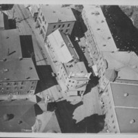
Bellows Falls, VT. Aerial view of South End of Square. About 1926.
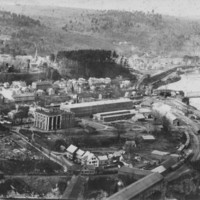
Bellows Falls, VT. Aerial view of Mills and Baptist Church.
Bellows Falls, VT. Aerial view of mills. Baptist Church in center foreground. About 1926.
Bellows Falls, VT. Aerial view of South End.
Bellows Falls, VT. Aerial view of South End. About 1926
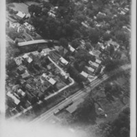
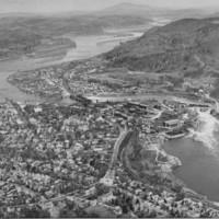
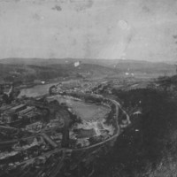
Bellows Falls. Aerial View. About 1926
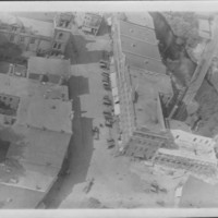
Bellows Falls, VT. Aerial View covering business section and railroad yards. About 1926.
Bellows Falls Square. About 1926. From aircraft.
Bellows Falls, VT. Aerial View of North End of Square. About 1926
Bellows Falls Square. About 1926. From aircraft.
Bellows Falls, VT. Aerial view of Square. About 1926
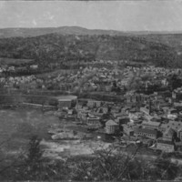
Bellows Falls, VT. North End.
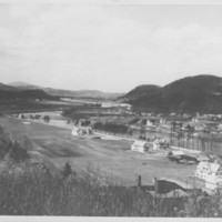
Bellows Falls, VT. North End. View from Oak Hill across Morgan's Field. Halladay house added since.
Bellows Falls, VT. North End.
Bellows Falls, VT. North End. View from Oak Hill across Morgan's Field.
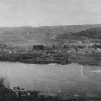
North Walpole, N.H. South End.
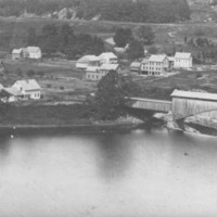
North Walpole, N.H. South end, showing end of covered Railroad Bridge.
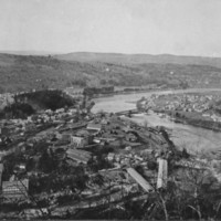
Bellows Falls, VT. From low on Fall Mountain.
Bellows Falls, VT. Paper Mills. From low on Fall Mountain.
Bellows Falls, VT. South End.
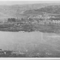
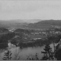
Bellows Falls, VT. North ends of Bellows Falls and North Walpole. From Oak Hill.


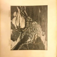






![[Untitled] [Untitled]](https://rockinghamlibrary.org/history/files/square_thumbnails/7770a6d056589d681784e2da489b89d9.jpg)
